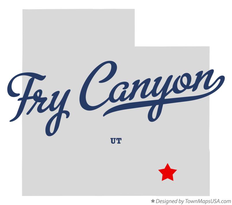
Fry Canyon Utah UT Map professionally designed by GreatCitees.com. Feel free to remix and share.
Non-commercial works only please.

We also have maps for nearby towns: Indian Village, UT Mexican Hat, UT Halchita, UT Halls Crossing, UT Oljato, UT Blanding, UT Tselakai Dezza, UT Bluff, UT Eggnog, UT White Mesa, UT Mexican Water, AZ Dennehotso, AZ Monticello, UT Diamond Fields, AZ Navajo Mountain, UT Kayenta, AZ Montezuma Creek, UT Hanksville, UT Red Mesa, AZ Aneth, UT


